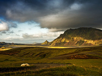
'the fields of parliament'
Þingvellir National Park - Where You Walk Between Two Continents
Þingvellir National Park - Where You Walk Between Two Continents


Þingvellir, the site of the ancient parliament of the Viking commonwealth, is probably the single most important historic site in Iceland. It played a central role in the Icelandic independence struggle, seen as the birthplace of the nation and its “holiest” sites. It was therefore a deeply symbolic act that the Icelandic parliament in 1928 approved a law declaring Þingvellir a National Park in the year 1930, on the 1000 anniversary of the foundation of Alþingi.


In 2004 Þingvellir was then declared a Unesco world heritage site. In a certain understatement the Unesco World Heritage Site explains the significance of Þingvellir in these terms: „The Althing has deep historical and symbolic associations for the people of Iceland.“
When Þingvellir was declared a national park Iceland had still not achieved full independence from Denmark. In 1904 Iceland had been granted home rule and in 1918 Iceland became a sovereign state within the Danish Kingdom, with the Danish king as the head of state. When Iceland was declared a republic in 1944 it was done at Þingvellir.
The ceremony was held on June 17, the birthdate of Jón Sigurðsson, the 19th century leader of the Icelandic Independence movement.


The name Þingvellir translates as “the fields of parliament”, as it was the site of Alþingi, the democratic legislative assembly, highest court and most important political institution of the of the Viking Age commonwealth.
According to the written account of the Viking Age settlement of Iceland the first settler, Ingólfur Arnarson arrived in 874 with his family and team members in present day Reykjavík. The settlers adopted a form of democratic organization common to Germanic societies, the þing.
The first Icelandic þing was Kjalarnesþing, a regional assembly established by the son of Ingólfur in present day Reykjavík shortly after 900.
In the year 930 Alþingi, the “þing of all”, as the highest of the regional þing was then founded at Þingvellir. The site was chosen because of its accessibility to the most populous regions in the north, south and west Iceland.


As the population of Iceland had grown it became necessary to create a political institution which could establish a standardized body of law to govern the new society. The fact that the settlers of Iceland came from various different Norse settlements in Scandinavia and the British Isles, each bringing with him a his own customary laws, made it even more pressing to have a unified law for the entire new nation. In this way Þingvellir became the birthplace of a unified Icelandic nation.
Alþingi was an open-air assembly, with all business conducted in the slope and fields in front of Lögberg, The law-rock which provided a natural platform for holding speeches. The business of Alþingi began with the Lögsögumaður, The Law-sayer, reciting the laws from memory at Lögberg.
Following this the Goðar, the chieftains, accompanied by their þingmenn, men of Parliament, would deliberate and settle disputes.
During the Viking Age commonwealth parliament remained in session for a couple of weeks. With hundreds, even thousands, of people gathered at Alþingi it as the centre of life in Iceland. Tents and huts were erected in the fields below Almannagjá gorge to house the guests.
In addition to a legislative assembly Alþingi was a court, and a gathering of the entire nation, where deals were struck, alliances formed and feasts held. Some of the most important scenes in the Sagas take place at Alþingi. It was the focal point of Viking Age Iceland.

Alþingin continued to meet in Þingvellir until 1798. It 1844 it was moved to Reykjavík, finally receiving a permanent home in downtown Reykjavík in the newly erected house of parliament in 1881.


The entire Þingvellir region is located in a rift valley created by the drifting apart of the North American and Eurasian tectonic plates.
The tectonic plates are drifting in opposite direction at the rate of 2cm (0.8 in) annually.
The plate boundary runs through Iceland. In Reykjanes peninsula the plates inch past each other at a constant rate, but at Þingvellir, they move in opposite directions, breaking apart. This causes the land between them to subside.


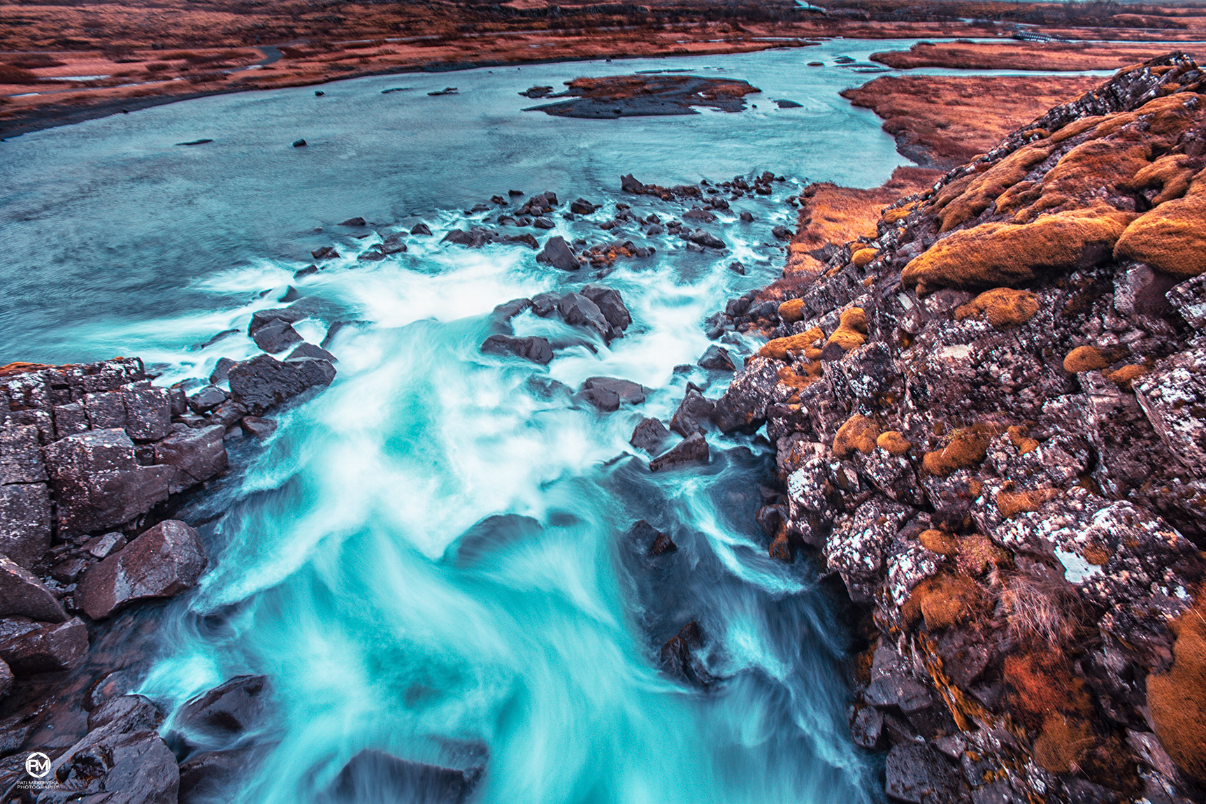
In the southern part of the valley is Þingvallavatn lake. With a surface area of 84 km2 and a depth of 114 m (374 ft) it is the largest natural lake in Iceland. One river runs into Þingvallavatn, Öxará, which runs through Almannagjá gorge, but it is primarily fed by groundwater.
The majority of the catchment area is covered by lava and water easily drains through. The young age of the lava means that there is a high uptake of minerals in the groundwater, and this is one of the reasons for the great diversity of life in Þingvallavatn.
The lake is particularly fertile and rich in vegetation, despite the very cold temperatures. A total of 150 types of plants have been found and 50 kinds of invertebrates, from the shore to the center.


Iceland 2019
https://www.facebook.com/Pati.Makowska.Photo
© Copyright Info All material in my gallery may not be reproduced, copied, edited, published, transmitted or uploaded in any way